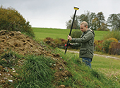
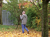
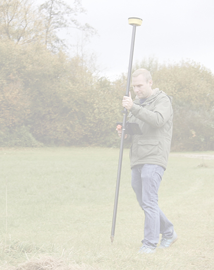
Stake out points and axes from a CAD plan and control measurements. Survey moving terrain, excavations and stockpiles for volume calculation.
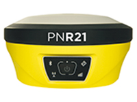
| For land surveying offices, surveyors and engineering offices, the PNR21 is a good choice due to its high precision. Create digital terrain models, perform control surveys, determine control points, and more.
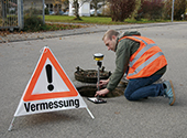
| The PNR21 is ideal for all needs in the municipal GIS sector or at utility companies and public utilities. In particular, the PNR21 is an exciting option for surveying, staking out and documenting pipelines.
| In forestry and agriculture, the PNR21 has many uses: For example, determine and control your areas, document measures, search boundary stones, hydrants, drainages, manholes and much more.
|